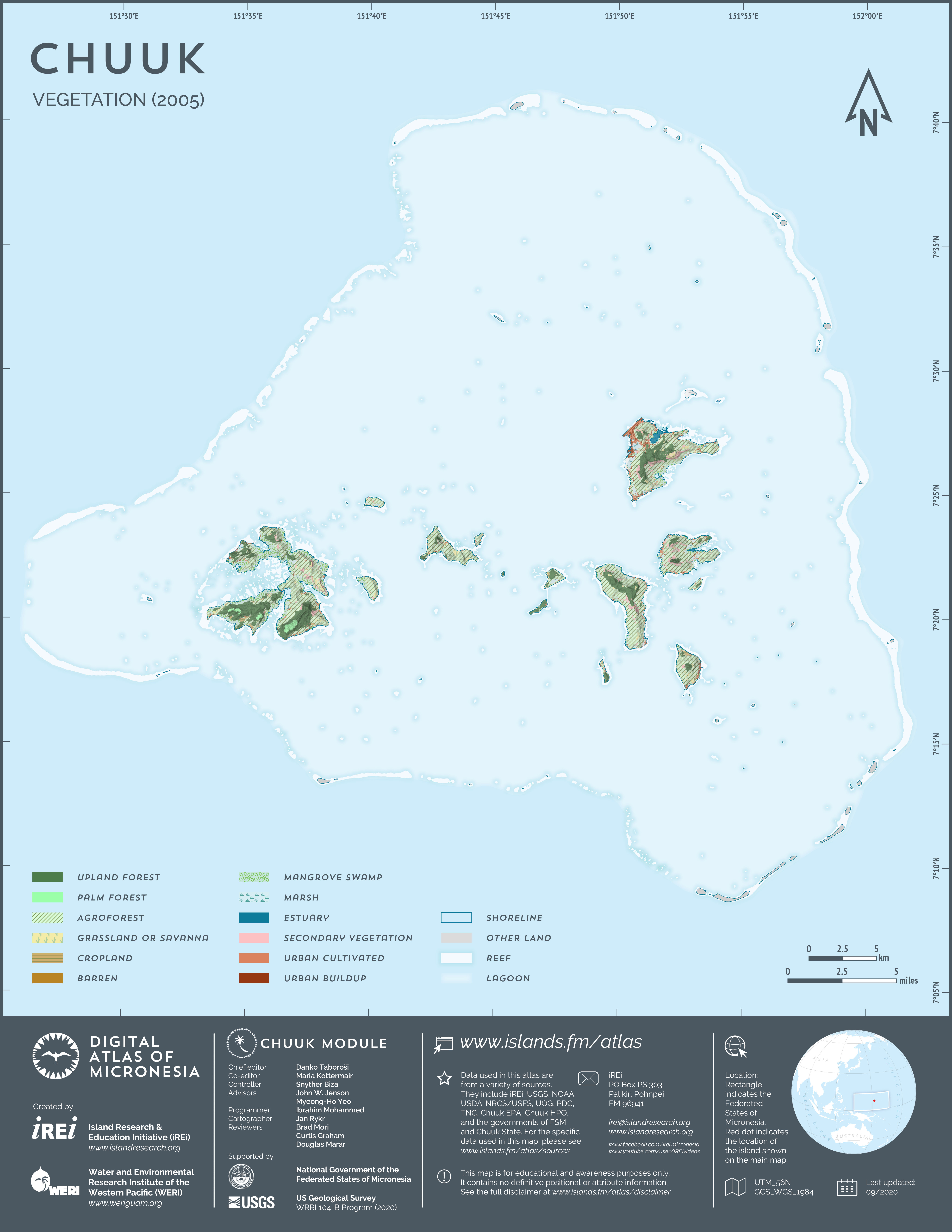
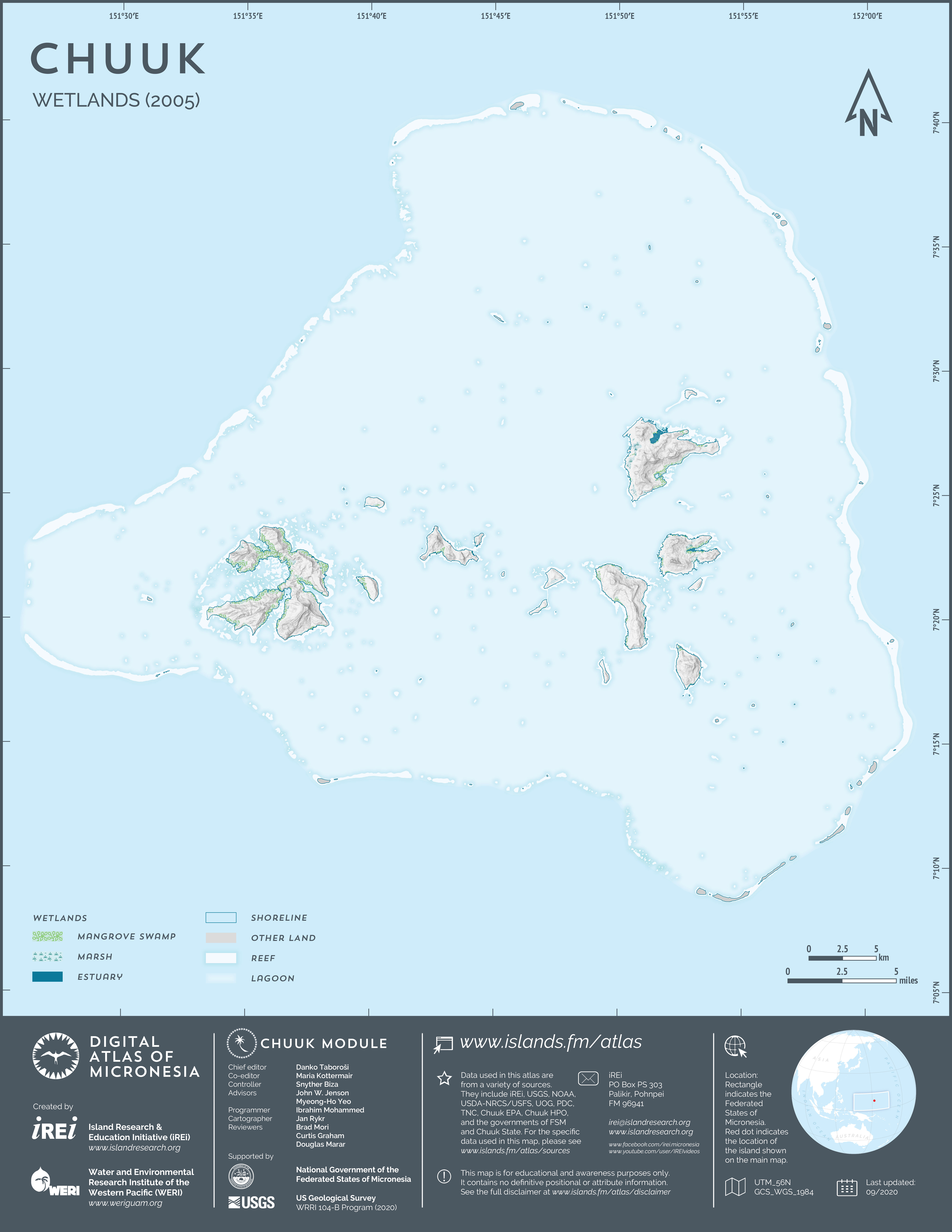
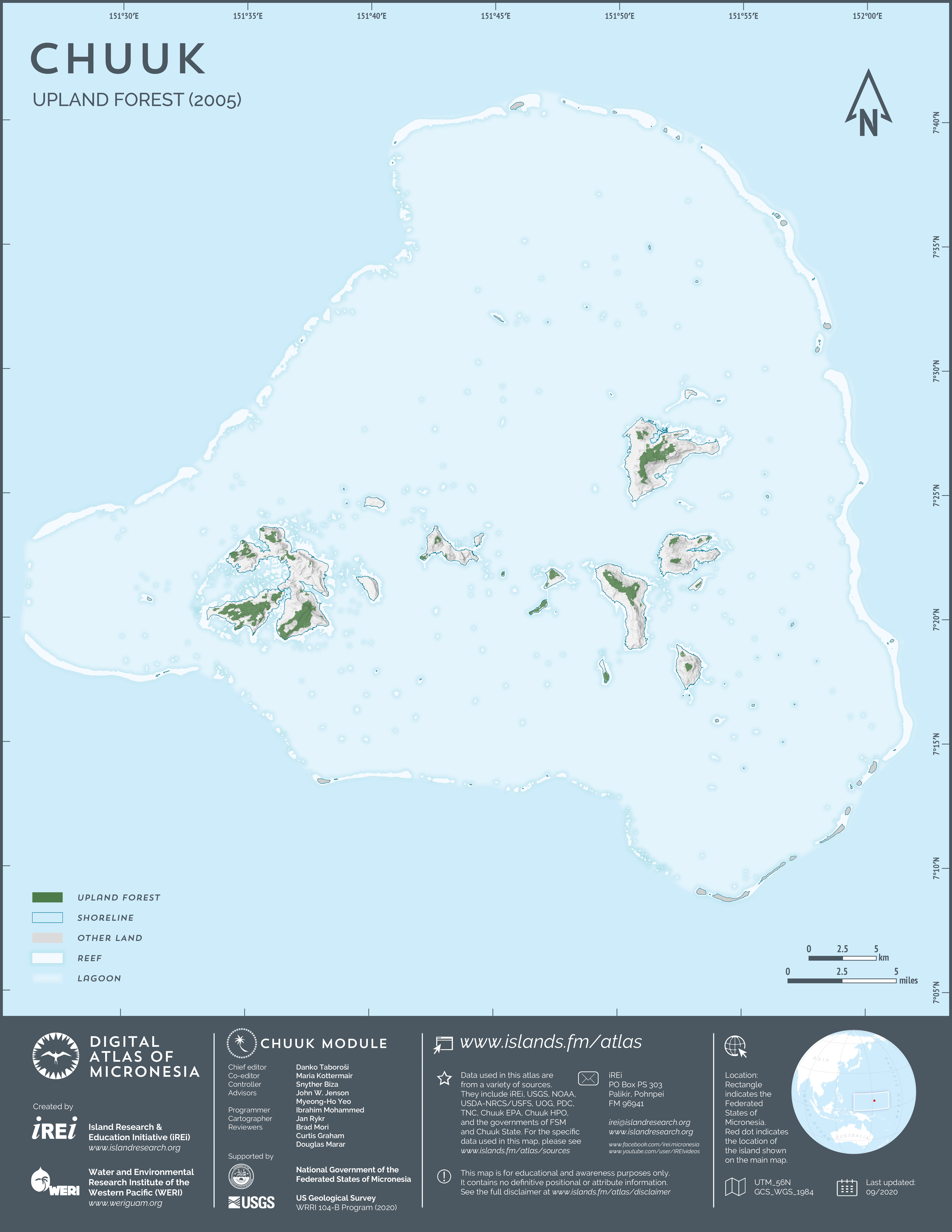
Vegetation (2004-2006)
This map shows the vegetation of the islands in Chuuk Lagoon between 2004 and 2006. The dataset was developed from 2004-2006 QuickBird satellite imagery by DigitalGlobe through land cover classification carried out by U.S. Forest Service (2008). The dataset was formatted by Island Research & Education Initiative (iREi) (2020) for use in the Digital Atlas.