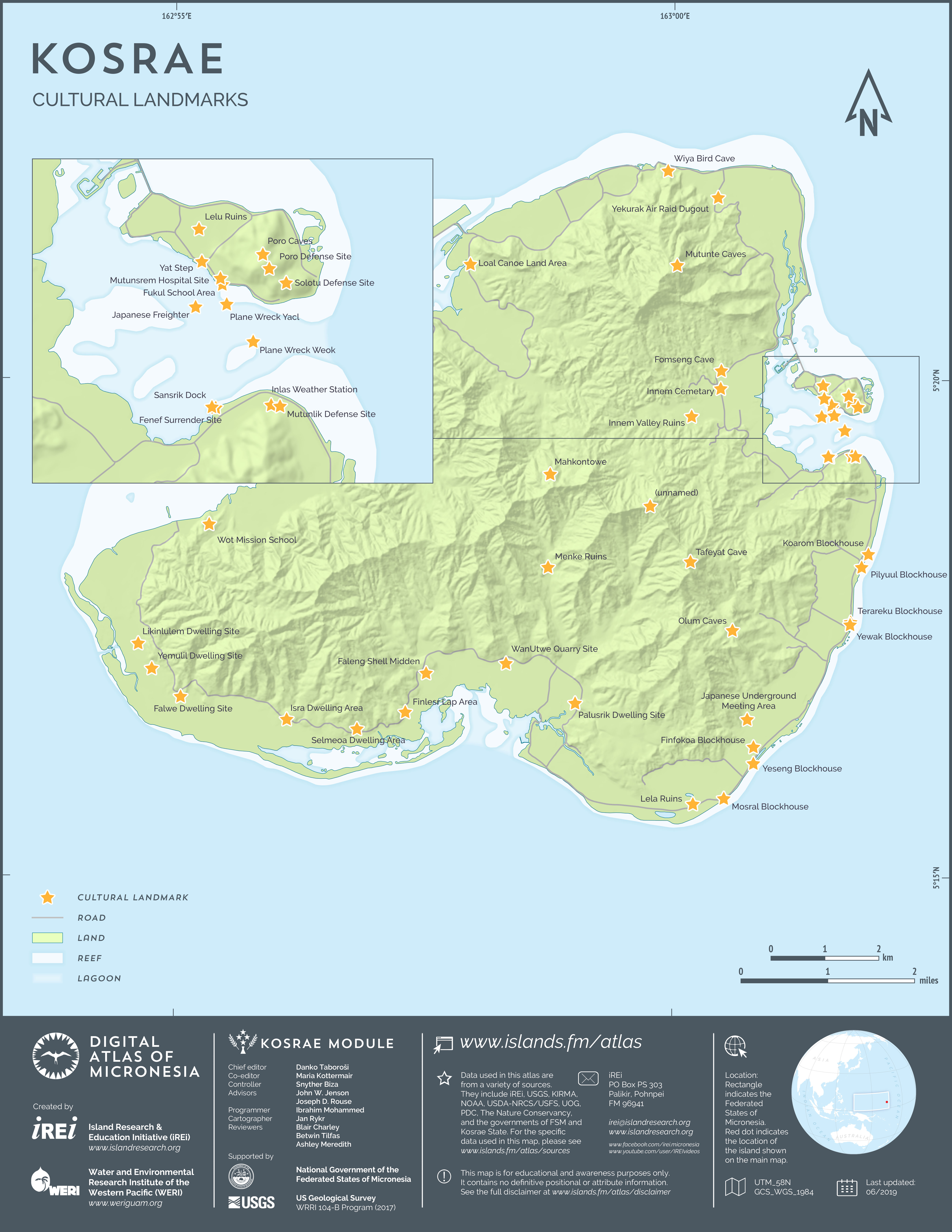
main logo

kosrae Maps: culture

Traditional culture and history

Prehistoric structures

Lelu ruins

This map shows the islets and buildings at Kosrae's premier prehistoric site, the ancient Saudeleur capital at Nan Madol. The data layer was created by Island Research & Education Initiative (iREi) (2019) by georeferencing and digitizing archaeological map [figure 8] from Cordy, R. 1993. The Lelu Stone Ruins (Kosrae, Micronesia): 1987-81 Historical and Archaeological Research. Honolulu: Social Science Research Institute, University of Hawai’i at Manoa.

Kosraean culture

Cultural landmarks

This map shows some of the most significant cultural landmarks on Kosrae. The data layer was formatted for GIS by Island Research & Education Initiative (iREi) (2019), using Excel spreadsheet information provided by Kosrae Island Resource Management Authority (KIRMA).