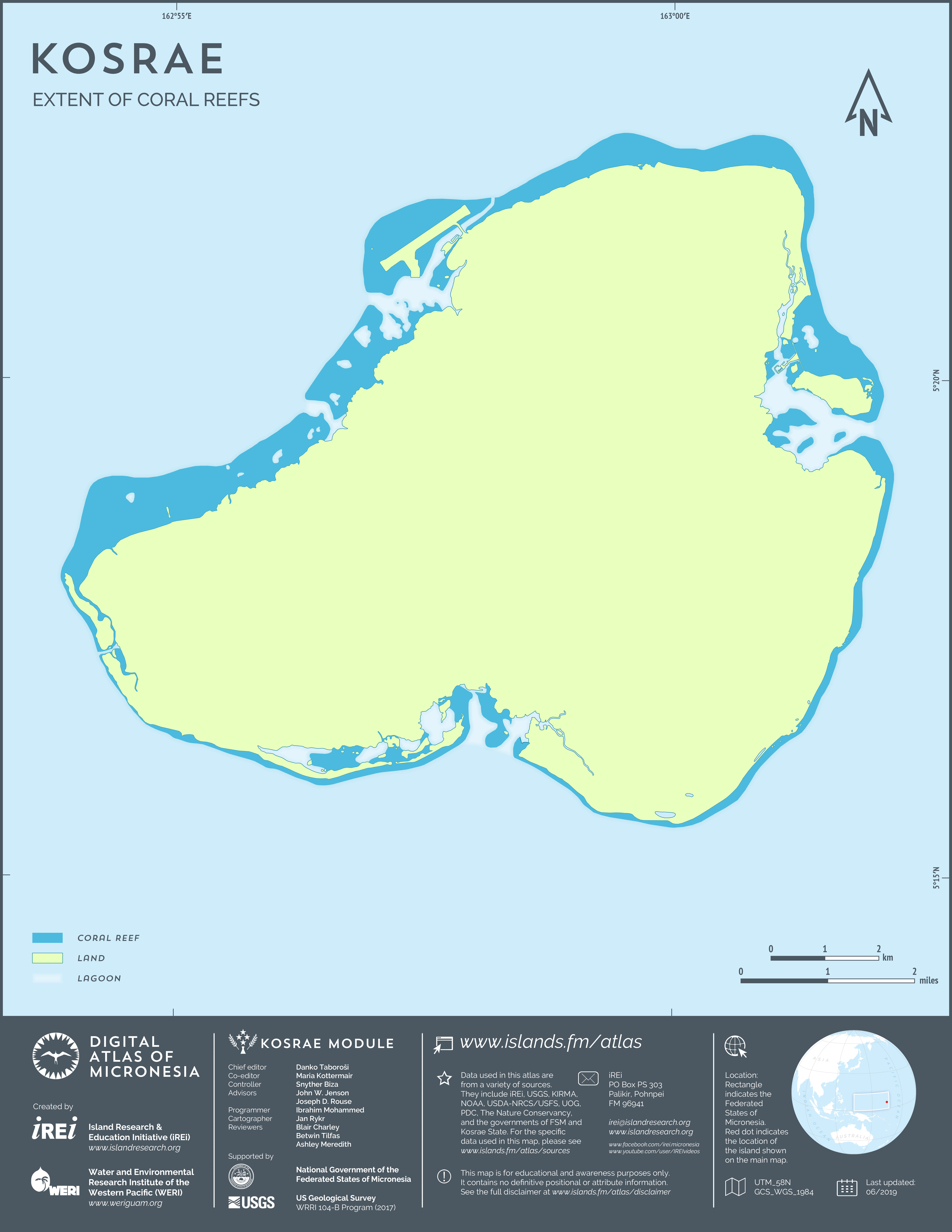
Extent of coral reefs
This map shows the extent of coral reefs around Kosrae. The data layer shown here is a subset of Kosrae base layer derived by Island Research & Education Initiative (iREi) (2019) from Digital Line Graphs (DLGs) of U.S. Geological Survey (USGS) 1:25,000-scale topographic maps (2001). The shoreline was partially updated and the coral reef features were slightly shifted and partially modified based on WorldView-2 satellite imagery from DigitalGlobe (2015-2018) provided by U.S. Department of Agriculture (USDA) – Natural Resources Conservation Service (NRCS).