Wrecked and abandoned vessels [post-World War II]
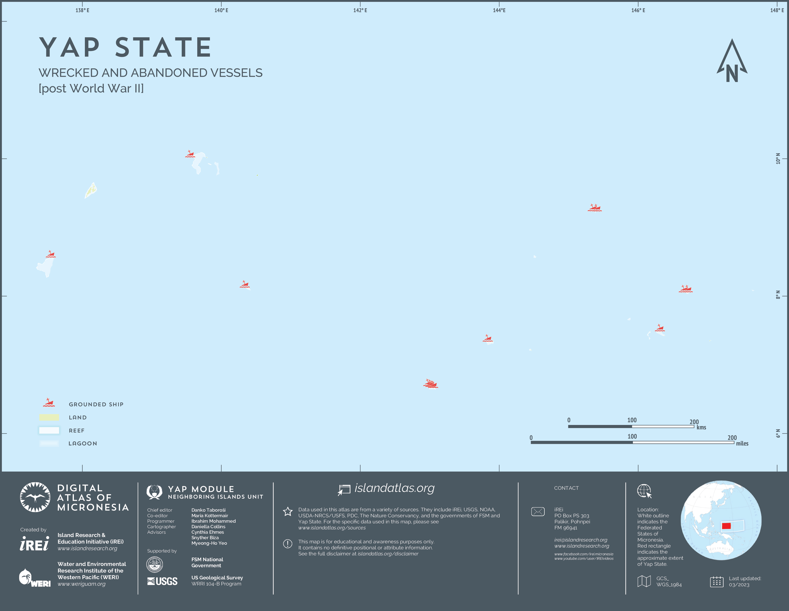
This map shows the locations of wrecked and abandoned vessels in Yap State, including ships that ran aground on the fringing reef of Yap Proper and the reefs of atolls in the Neighboring Islands. The dataset was created by Island Research & Education Initiative (iREi) (2023) using a combination of field-collected information and observations using Google Maps and other imagery. It should be noted that this layer is not comprehensive and more data points will be included as information becomes available.