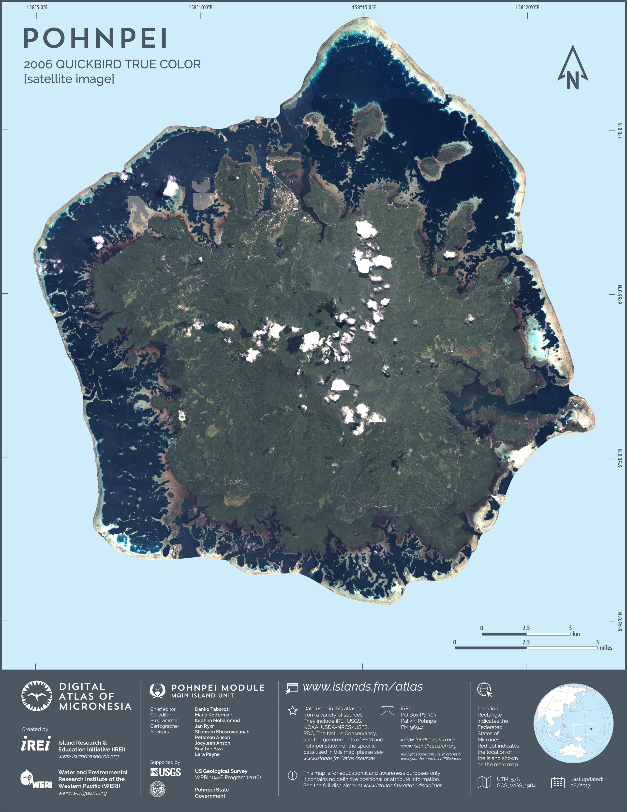
2006 QuickBird satellite imagery orthomosaic [natural color]
This map showcases 2006 satellite imagery of Pohnpei taken by QuickBird satellite by DigitalGlobe. The data were purchased and processed by U.S. Department of Agriculture (USDA) – Natural Resources Conservation Service (NRCS). The image shown here is in natural color. Image portions that fall outside the barrier reef of Pohnpei are omitted from the map.